GeoMatra
Project Overview
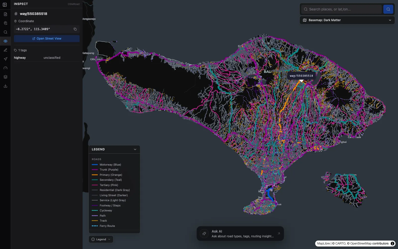
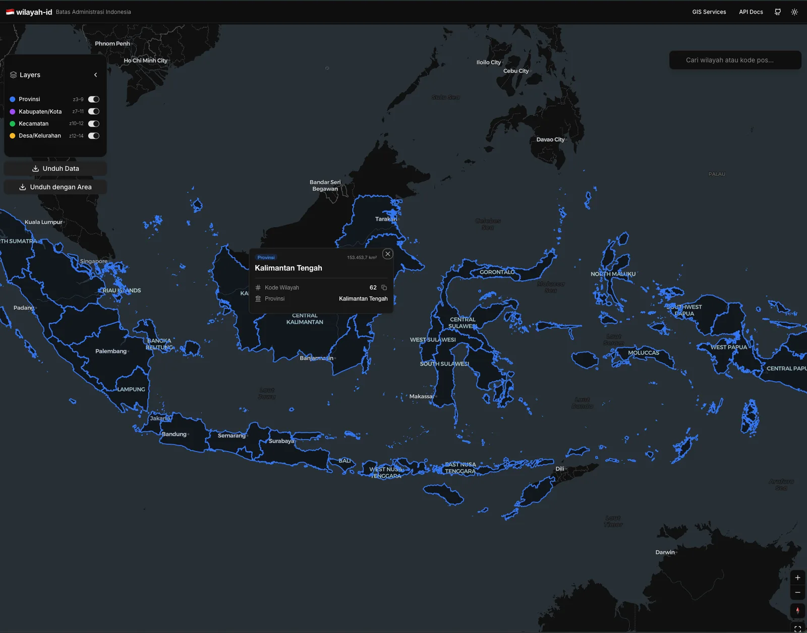
GeoMatra is a geospatial data platform that keeps an organisation's spatial data in one catalog and turns it into 2D maps, 3D scenes, analyses, dashboards and story maps. Uploads of Shapefile, GeoPackage, GeoJSON, KML, CSV, GeoTIFF, IFC and Gaussian splat scans are converted on arrival: vector data goes to PostGIS, rasters become cloud-optimised GeoTIFF, and IFC models become 3D Tiles with every room kept as a clickable feature. Every layer can also be published through open standards (WMS, WFS, WCS, WMTS and OGC API Features), so QGIS and ArcGIS read the same layer the browser shows. The public site carries open maps anyone can run: a deforestation check for Riau, building models in Jakarta, an office building opened storey by storey, and an aerial Gaussian splat scan of central Semarang. Accounts are by invitation, and each organisation gets an instance of its own.
Outcomes & contributions
- One catalog for vector, raster, 3D model and scan data: uploads become PostGIS tables, cloud-optimised GeoTIFF and 3D Tiles, with metadata after ISO 19115 and export to ISO 19139.
- Open standards on every layer: WMS, WFS, WCS, WMTS and OGC API Features from the map server, with personal access keys for layers that stay closed.
- The same map opens flat in MapLibre GL JS or as a CesiumJS scene with IFC building models, Gaussian splat scans, OpenStreetMap city buildings and relief from open elevation data.
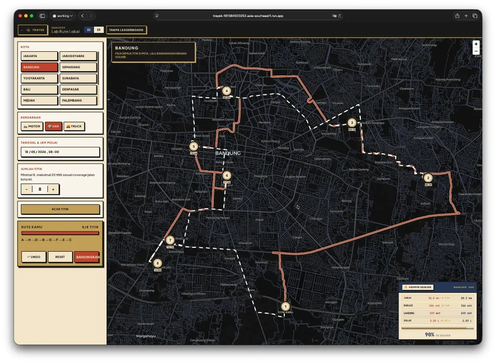
- Built-in analysis (overlay, buffer, zonal statistics, spatial join, service areas and closest facility by road with Valhalla), where each result becomes a new catalog layer with its provenance.
- Dashboards and story maps read the same layers. The first product on the platform is an EUDR deforestation check of supplier plots against the 2020 forest baseline.
- Modular Bun monorepo (Hono API, pg-boss worker, React 19 web app) shipped with Docker Compose, in English and Indonesian, with light and dark themes.
Technology Stack
- MapLibre GL JS
- CesiumJS
- PostGIS
- React 19
- TypeScript
- Bun
- Hono
- 3D Tiles
- OGC API
- Docker