TRAYEK
3D Visual Study TRAYEK Bandung local route lab
Routing & Mobility Bandung & Nusantara, Indonesia
Project Overview
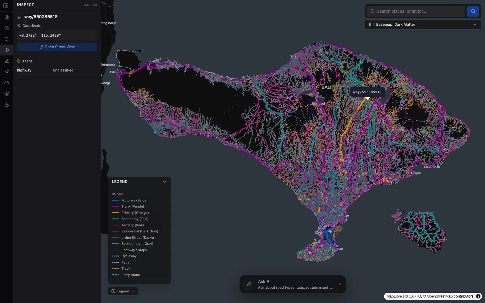
TRAYEK is a map-based route optimization game in Indonesia that challenges players to sequence logistics stops against an AI solver (Nearest-Neighbor, 2-Opt) and the Valhalla routing engine. Players tackle 8 authentic Indonesian constraints: Jakarta odd-even plates, Semarang coastal tidal flooding, prayer breaks, one-way streets, and Nusantara (IKN) logistics corridors across 15 Indonesian cities. Developed as an engineering initiative for #JuaraVibeCoding 2026 and selected in the Top 100 with recognition from Google Developer Groups in May 2026.
Outcomes & contributions
- Top 100 #JuaraVibeCoding Season 1 (May 2026) by Google Developer Groups Live Indonesia & Vertex AI (Certificate ID: JVC2605-DFFS-KBGR).
- Dual Cloud Run microservices architecture: Next.js 16 (strict TypeScript) frontend and high-performance Go backend for route simulation and attempt cooldowns.
- Self-hosted Valhalla routing engine with multi-vehicle costing (motorcycle, auto, truck) and pre-baked distance matrix for zero-cost runtime routing.
- Vertex AI integration (Gemini 3.1 Flash) with Google Search Grounding for narrative mission briefings and contextual explanations of local logistics constraints.
- Covers 15 cities from Medan to Sorong with 36 archipelago logistics mission scenarios.
Technology Stack
- Next.js 16
- Go (Golang)
- Valhalla
- MapLibre GL
- TypeScript
- Vertex AI
- Firestore
- Google Cloud Run
System Documentation
1 / 4
Available for geospatial projects & technical consulting