01. Geodetic precision first
Respecting mathematical reality between WGS84 ellipsoids, projected UTM grids, and Web Mercator distortion. Distance and polygonal metrics always account for geodetic reality.
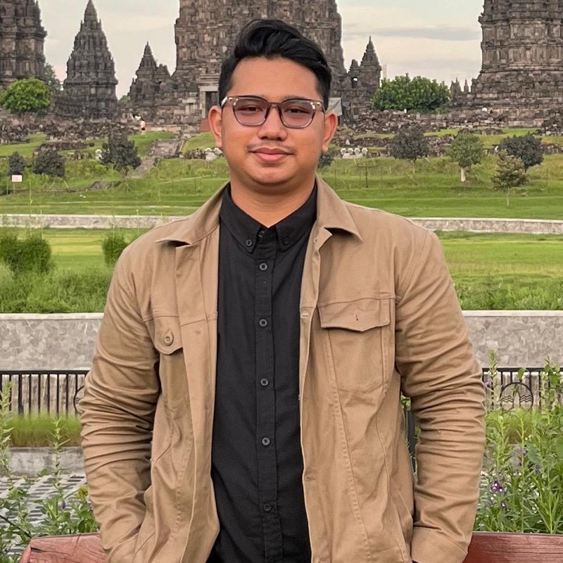
Dhany Yudi Prasetyo
Geospatial & GIS Engineer
Cartography, routing engines, and spatial data architecture. Integrating geodetic rigor with modern software engineering to bring clarity to physical space.
Follow the journeyMy foundation comes from geomatics and surveying and mapping at Universitas Gadjah Mada. Terrestrial surveying, photogrammetry, datums, and projections shaped how I understand the production of spatial data. That attention to accuracy carries into the data and applications I work on.
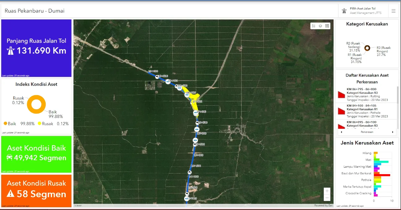
Infrastructure work took that rigor to corridor scale. On the Trans Sumatra Toll Road, I turned survey data and GIS into WebGIS and dashboards for understanding the corridor and managing its assets.
Toll lines from OpenStreetMap (ODbL), simplified for display.
My career then moved to international scale at SWAT Mobility in Singapore. I lead the GIS and routing function, optimizing road graphs and calibrating OSRM vehicle profiles across Thailand, Japan, and Singapore for both people transport and logistics.
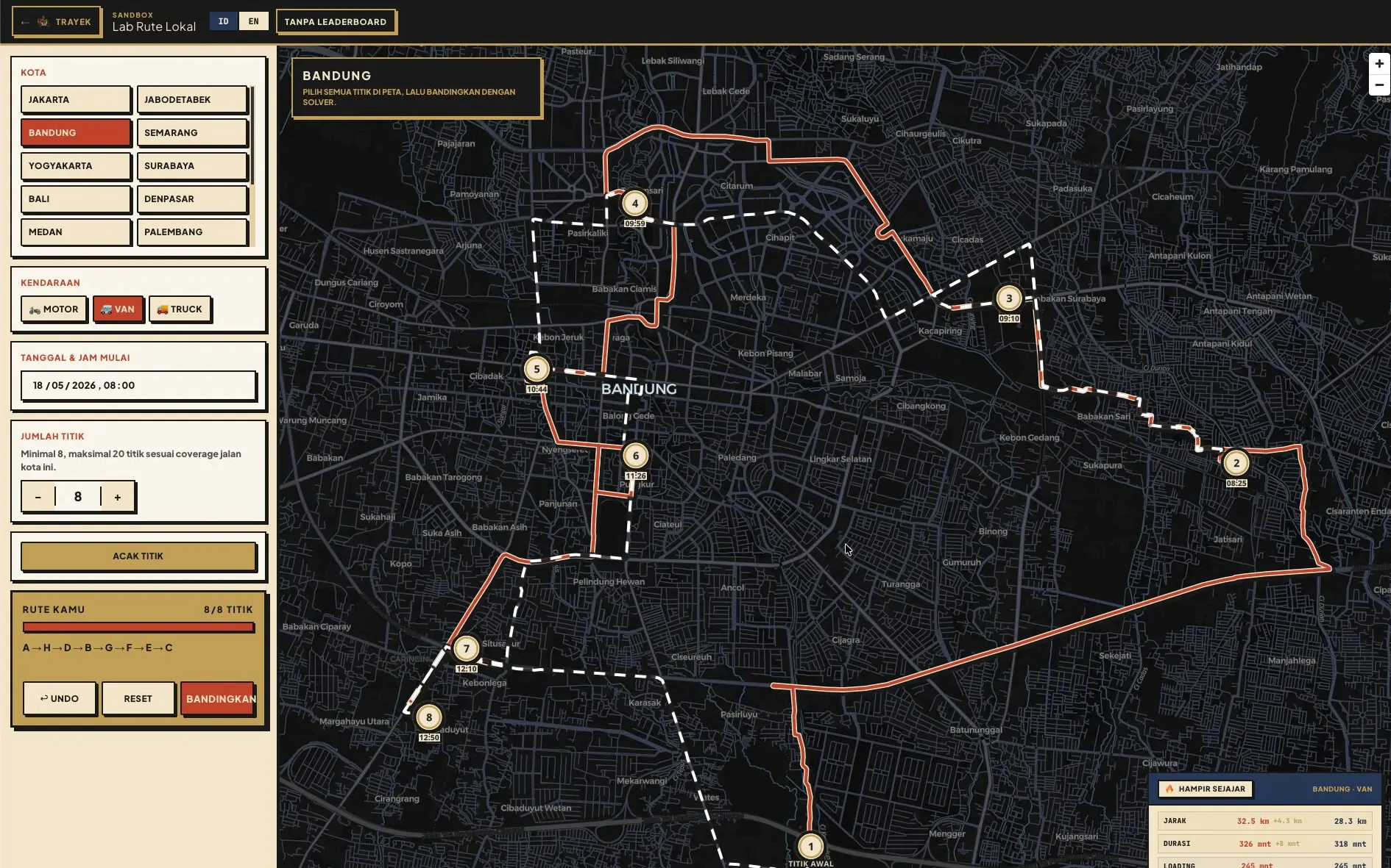
Rules on the ground have to become logic a system can run. In TRAYEK, my personal project, rules like Jakarta odd-even plates become constraints the Valhalla routing engine solves. The map shows the idea: one van, four stops, two routes.
Illustration: public landmarks, Valhalla routes on OpenStreetMap data.
I share the method too. I assisted lab classes at UGM in 2021. In 2026 I was the trainer for three Aksara Lab programmes (WebGIS with QGIS2Web, GeoAI for oil palm, and automated tree counting), then worked with Arkabumi as assistant trainer on two batches of a four-day WebGIS training for BIG and taught its Google Cloud deployment day.
Open Source WebGIS with QGIS2Web
Trainer · Aksara Lab Indonesia
View certificateGeoAI for Oil Palm: Image Enhancement and Health Classification with Python
Trainer · Aksara Lab Indonesia
View certificateOil Palm Tree Counting Automation
Trainer · Aksara Lab Indonesia
View certificateBasic to Advanced WebGIS Training for BIG
Assistant Trainer and Deployment Trainer · Arkabumi
Three core principles guiding spatial data architectures, road graph optimization, and web mapping interfaces.
Respecting mathematical reality between WGS84 ellipsoids, projected UTM grids, and Web Mercator distortion. Distance and polygonal metrics always account for geodetic reality.
Developing and calibrating routing profiles on OSRM and Valhalla, including the extract, partition, and customize cycle, keeping queries instant on national road graphs. The front end is built on MapLibre GL so dense layers remain responsive.
Spatial software operates in messy, dynamic environments. Ground constraints, vehicle restrictions, and urban transport rules are translated directly into reliable system logic.
National Professional Certification Board of Indonesia
View full credentials on CVGeospatial and GIS engineer with over 3 years of experience in spatial data management, spatial analysis, and routing system development for mobility technology and national strategic infrastructure projects. Certified by BNSP as a GIS Manager/Specialist, with a background in geodetic survey and UAV LiDAR.
Based in Jakarta (WIB / UTC+7). Open to spatial information systems consulting, routing engine architecture, and modern WebGIS implementation.