Trans Sumatra Toll Road
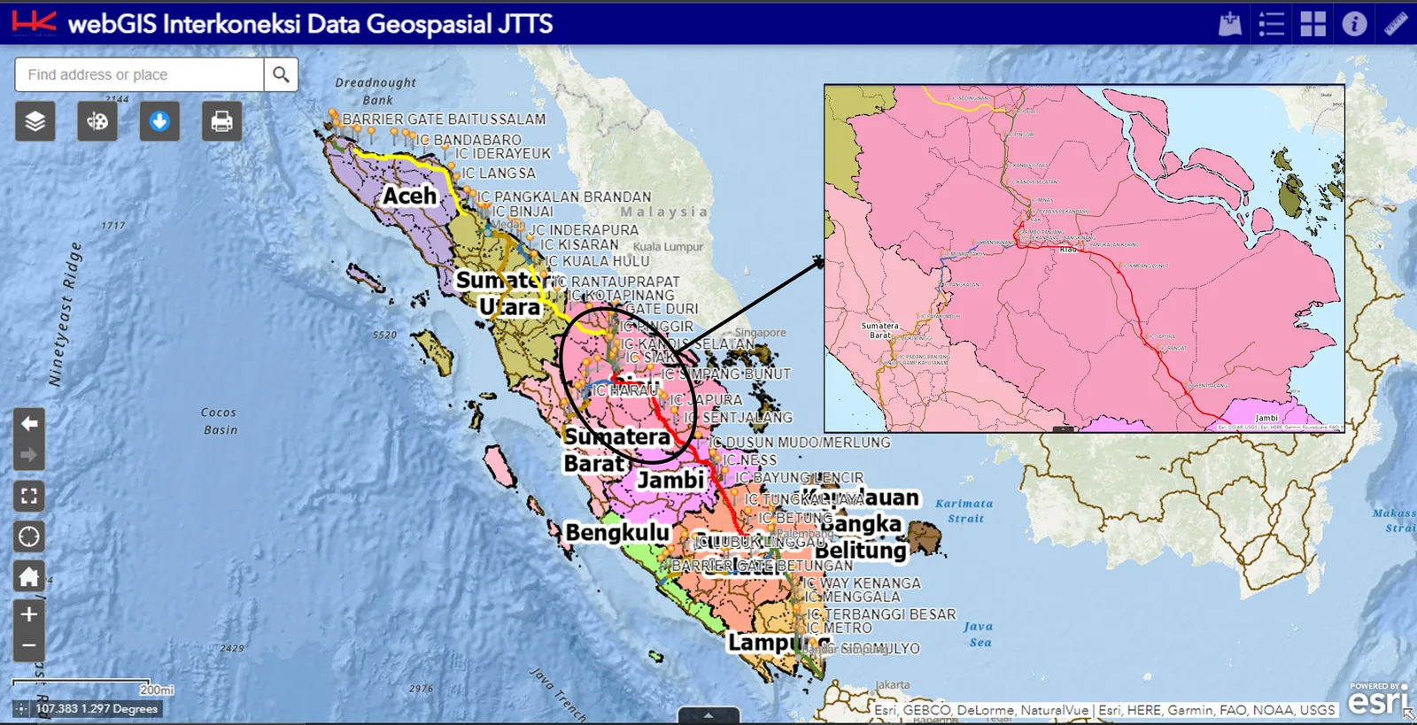
3D Visual Study Pekanbaru Dumai toll road asset management dashboard
Enterprise GIS & LiDAR Ruas Tol Pekanbaru–Dumai (Permai), Riau
Project Overview
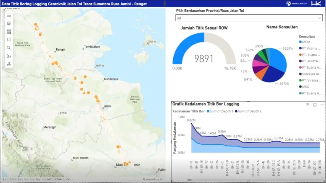
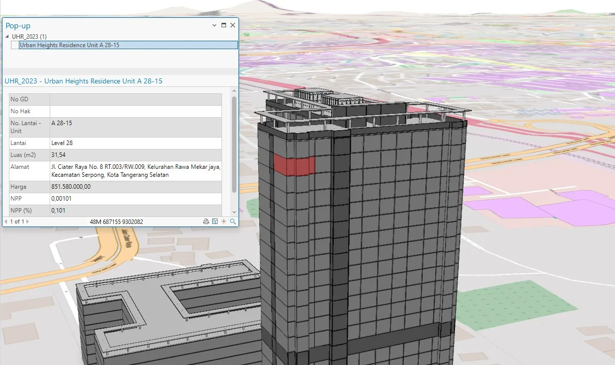
Architected a comprehensive Asset Management Dashboard for PT Hutama Karya (Persero) to digitize the maintenance lifecycle of the Trans Sumatra Toll Road. By integrating ArcGIS Enterprise with LiDAR and UAV survey data, the system creates a "Digital Twin" of the toll road infrastructure. This platform replaces manual reporting with real-time analytics, allowing engineers to track pavement conditions, identify damage types (e.g., potholes, rutting), and prioritize maintenance budgets based on precise geospatial evidence.
Outcomes & contributions
- Real-time condition monitoring across 131.69 km toll corridor with UAV LiDAR models.
Technology Stack
- ArcGIS Enterprise
- LiDAR & UAV Data Integration (3D Terrain Models)
- Python (Automated Data Processing)
- Operations Dashboard for ArcGIS
- ArcGIS Server
System Documentation
1 / 2
Available for geospatial projects & technical consulting