High-Performance WebGIS for Trans Sumatra Toll Road Planning
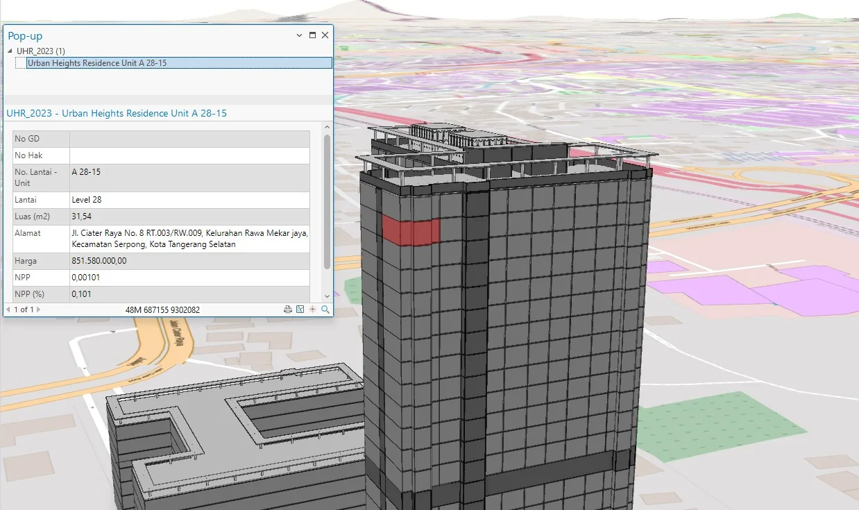
3D Visual Study Trans Sumatra toll planning WebGIS after optimization
ArcGIS Web AppBuilder / ArcGIS Enterprise Sumatra, Indonesia (PT Hutama Karya Projects)
Project Overview
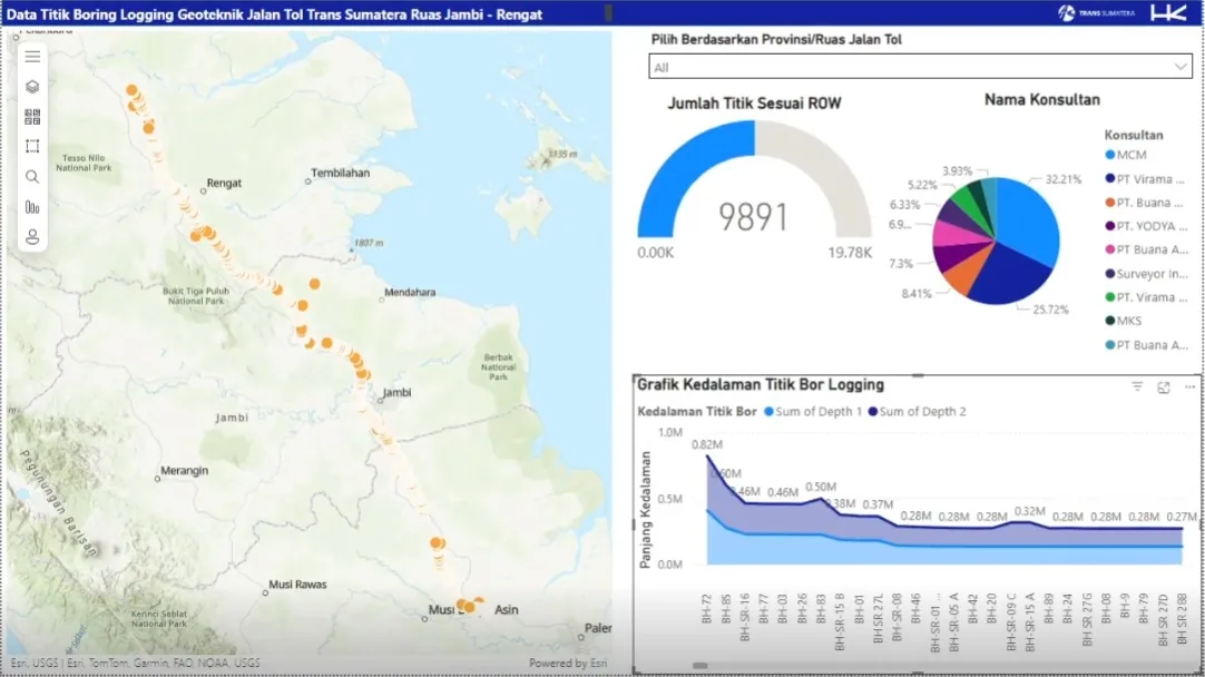
Engineered an optimized WebGIS application for PT Hutama Karya (Persero) to streamline the planning and visualization of the Trans Sumatra Toll Road (JTTS) megaproject. Addressing critical performance bottlenecks, I re-architected the spatial data delivery using Web Map Service (WMS) standards and developed custom functional widgets. The solution replaced a sluggish legacy system with a high-speed, interactive platform used for strategic route planning and asset management.
Outcomes & contributions
- Extreme Performance Boost: Achieved a 94% reduction in data loading time, optimizing the application response from over 3 minutes down to just 12 seconds.
- User Satisfaction: Validated the system's usability with a System Usability Scale (SUS) score of 70 (Good/Acceptable) from internal engineer testing.
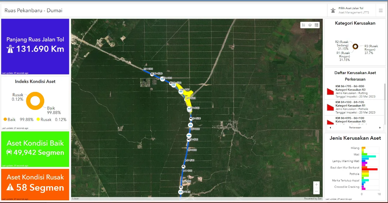
- Visual Clarity: Overhauled the visualization of complex interchange and route data, improving legibility for decision-makers.
- Custom Widget Suite: Developed three proprietary widgets tailored to user needs
- eDraw: An enhanced drawing tool allowing engineers to annotate routes and export/import marking data.
- Smart Downloader: Enabling users to download vector data (Shapefile/DWG) based on specific Areas of Interest (AOI).
- Custom Print: Automated map layout generation conforming to Hutama Karya’s official cartographic standards.
Technology Stack
- ArcGIS Web AppBuilder
- ArcGIS Enterprise
- ArcGIS Server
- Javascript
- Web Map Service
- Geospatial Database (GDB)
System Documentation
1 / 7
Available for geospatial projects & technical consulting