Geofence Validator
3D Visual Study Geofence Validator main page
Spatial Analysis Singapore
Project Overview
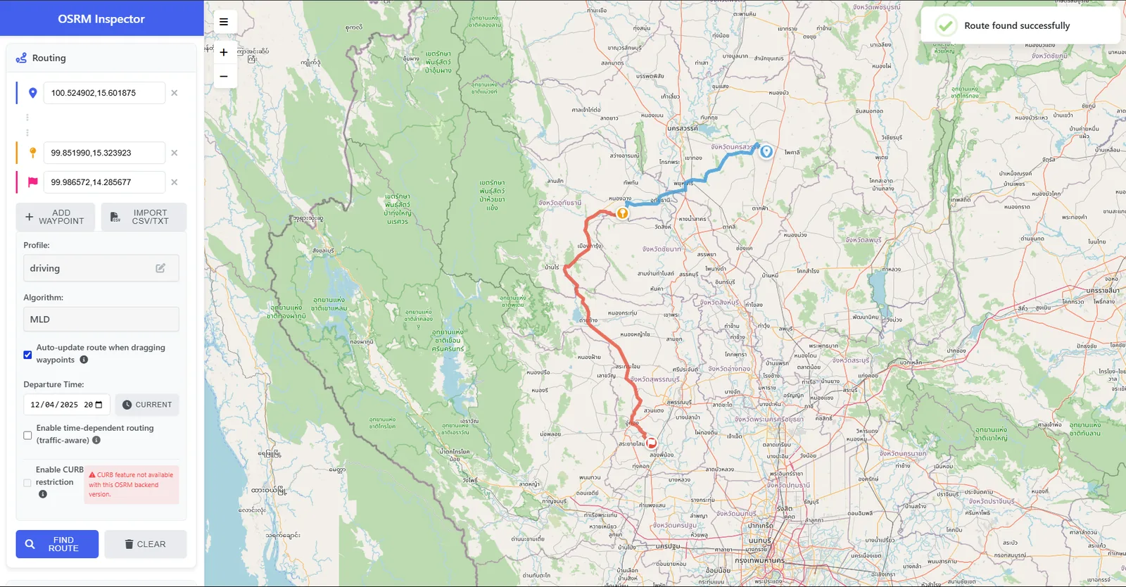
Developed a comprehensive web-based utility to validate, repair, and analyze GeoJSON files for geospatial developers. Built on Next.js 15 and React 19, this application solves common interoperability issues by automatically detecting and fixing geometry errors (e.g., removing Z-coordinates, converting MultiPolygons). It features a robust comparison engine and a Polyline decoder compatible with OSRM, all processing data securely on the client-side to ensure privacy.
Outcomes & contributions
- Automated 2D elevation normalization and polygon overlap detection.
Technology Stack
- Next.js 15
- React 19
- Turf.js
- Tailwind CSS (Modern UI)
- Vercel
- Polyline Encoding/Decoding
System Documentation
1 / 3
Available for geospatial projects & technical consulting