National Boundary Information System (Sitaswil)
3D Visual Study Sitaswil landing page
Python / PostgreSQL Cibinong, Indonesia (Badan Informasi Geospasial)
Project Overview
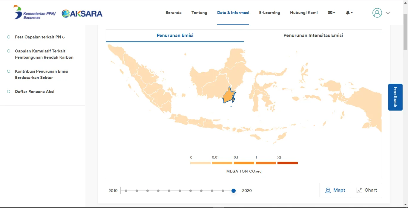
Contributed to the modernization of Sitaswil, the official boundary information system for the Indonesian Geospatial Information Agency (BIG). The project focused on enhancing the accessibility and security of administrative boundary data for central and regional governments. Key deliverables included a complete redesign of the landing page for better user engagement, the integration of advanced geocoding features, and the implementation of strict data security protocols tailored for government stakeholders.
Outcomes & contributions
- UX/UI Modernization: Revamped the platform’s landing page and user interface, significantly improving visual appeal and user navigation flow.
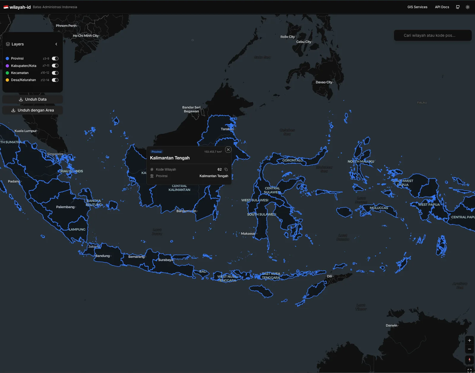
- Enhanced Searchability: Integrated the Nominatim API to enable precise geocoding, allowing users to search and locate administrative regions efficiently.
- Secure Data Access: Engineered a Role-Based Access Control (RBAC) system to ensure secure, ministry-specific access to sensitive geospatial data.
- System Optimization: Refined existing web features to reduce latency and improve the overall stability of the boundary mapping services.
Technology Stack
- Python
- PostgreSQL
- Geoserver
- OSM Nominatim API
- Leaflet.js
- PostGIS
- HTML5/CSS3
- PHP
- Laravel
System Documentation
1 / 2
Available for geospatial projects & technical consulting