AKSARA WebGIS Bappenas
3D Visual Study National climate action map in AKSARA
Python / PostGIS Jakarta, Indonesia (Bappenas)
Project Overview
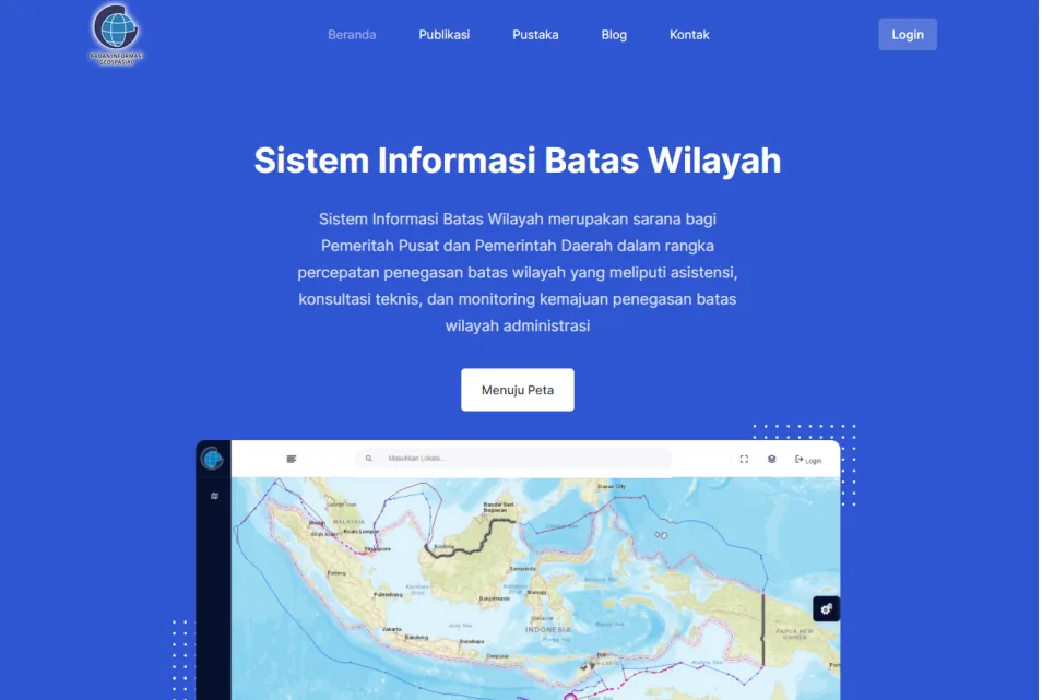
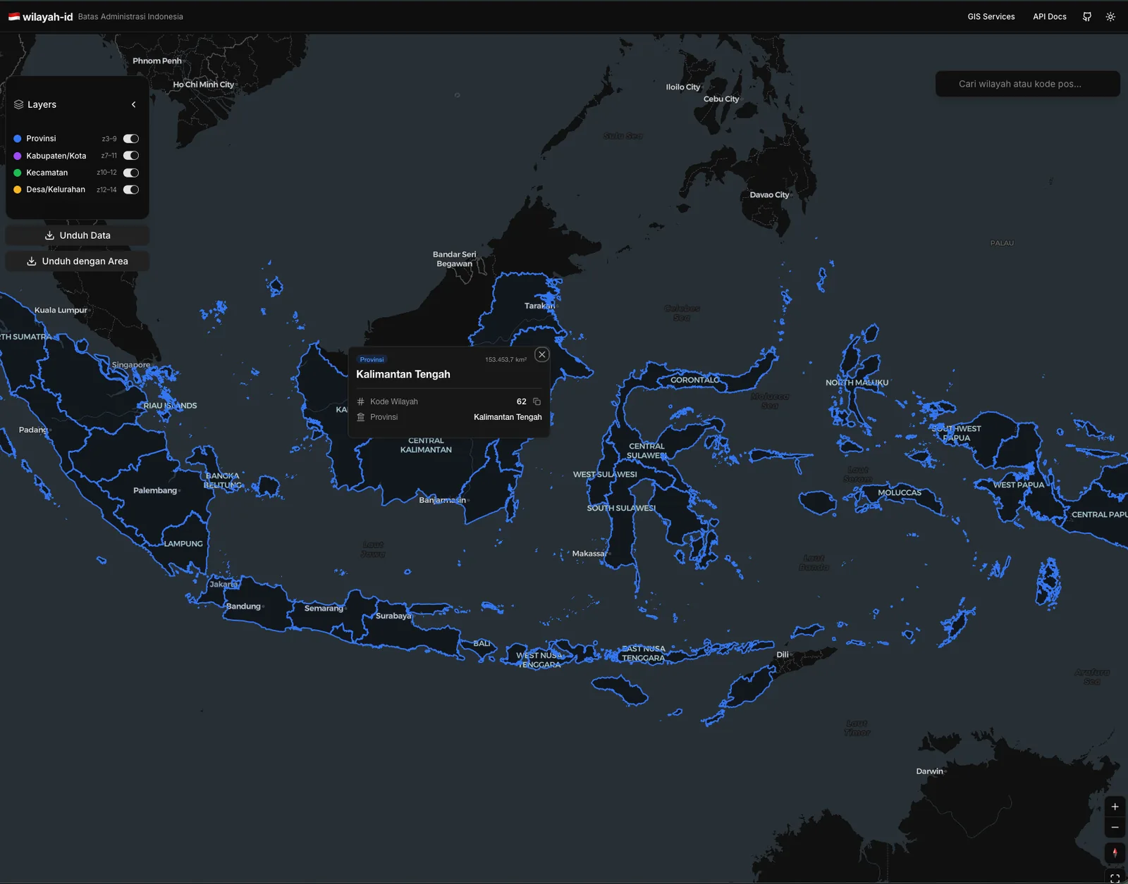
Developed backend features for the Climate Resilience module of the AKSARA platform, a strategic initiative by the Indonesian Ministry of National Development Planning (Bappenas). Engineered a robust interactive data collection system using Python Django and PostgreSQL, enabling seamless input, management, and geospatial analysis of national climate action data. The solution bridges complex database schemas with user-friendly interfaces to support national-level decision-making.
Outcomes & contributions
- Digital Transformation: Digitized the reporting process for Climate Resilience actions, replacing manual workflows with a streamlined interactive form system.
- API Architecture: Developed high-performance REST APIs to serve complex geospatial data to the frontend map interface efficiently.
- Data Integrity: Designed a custom database schema in PostgreSQL to ensure accurate capture and validation of multi-dimensional climate data.
- National Scale: Supported the monitoring of national development targets (RPJMN) regarding Low Carbon and Climate Resilience development.
Technology Stack
- Python
- PostGIS
- Django
- PostgreSQL
- RESTful API
- Leaflet.js
- OpenStreetMap
System Documentation
1 / 4
Available for geospatial projects & technical consulting